- 6 Nights / 7 Days

The Complete Guide to Pin Parvati Pass Trek
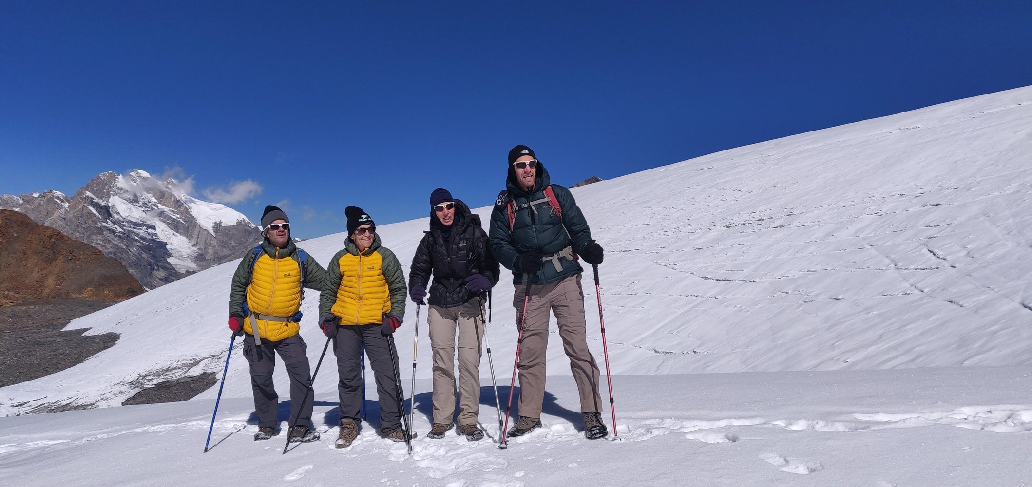
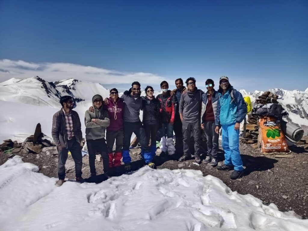
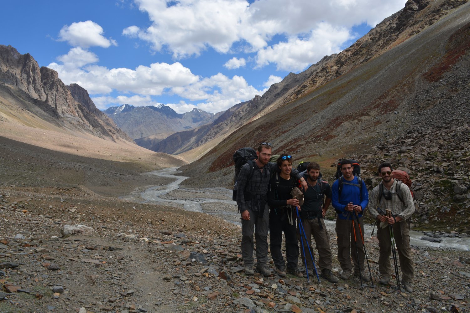
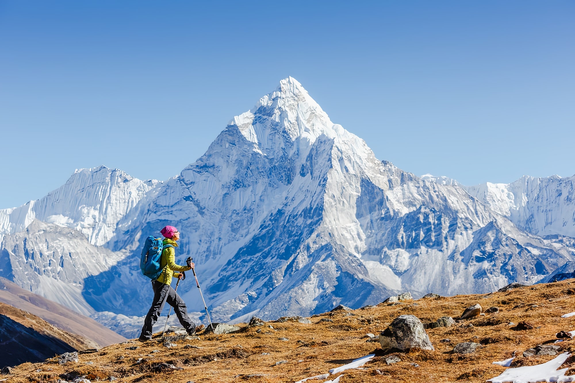
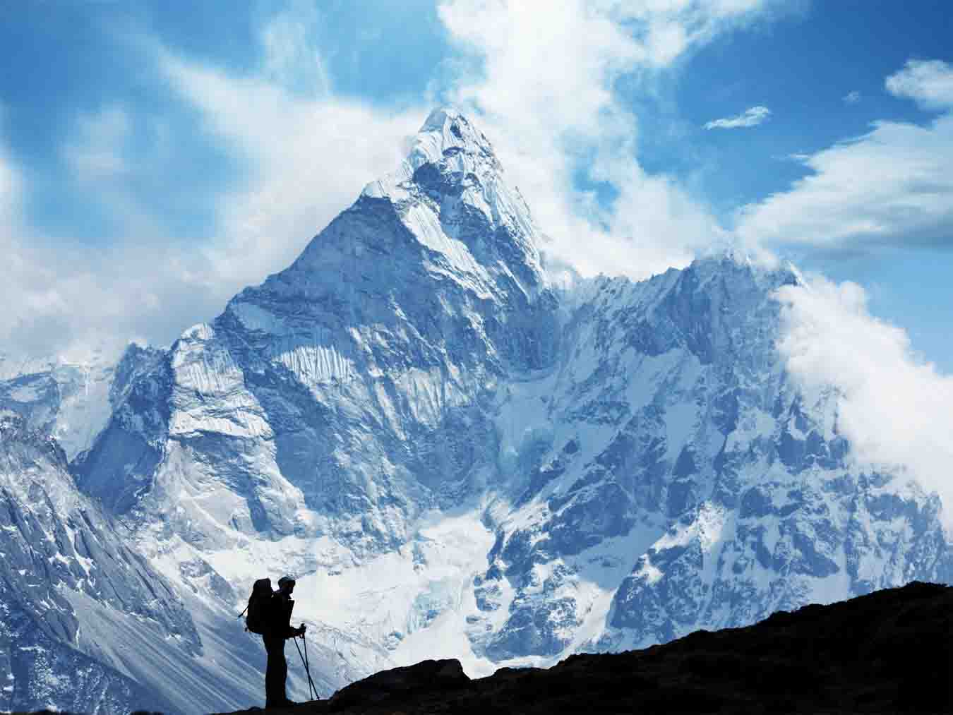
The Pin Parvati Pass is a thrilling challenge for any seasoned trekker. It’s a long expedition that gives trekkers a massive dose of adventure, beauty and a sense of achievement. The exhilaration of traversing a 17,457 ft pass is an experience of a lifetime.
Pin Parvati Pass trek provides the most spectacular traverses, right from the forest and verdant meadows of the Parvati Valley to the Buddhist villages in the Trans-Himalayan region of Spiti. The sharp contrast in landscapes, culture, flora and fauna will catch you off-guard. Within hours, you’ll walk from cold dry mountain desert region of Spiti to the rich biodiversity in Parvati Valley.
As you climb higher to Pin Parvati Pass, the bird’s-eye view of the Parvati and Pin Valley is fantastic.
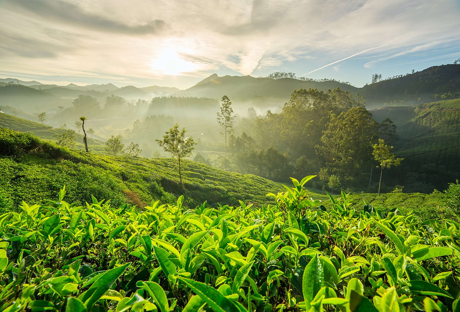
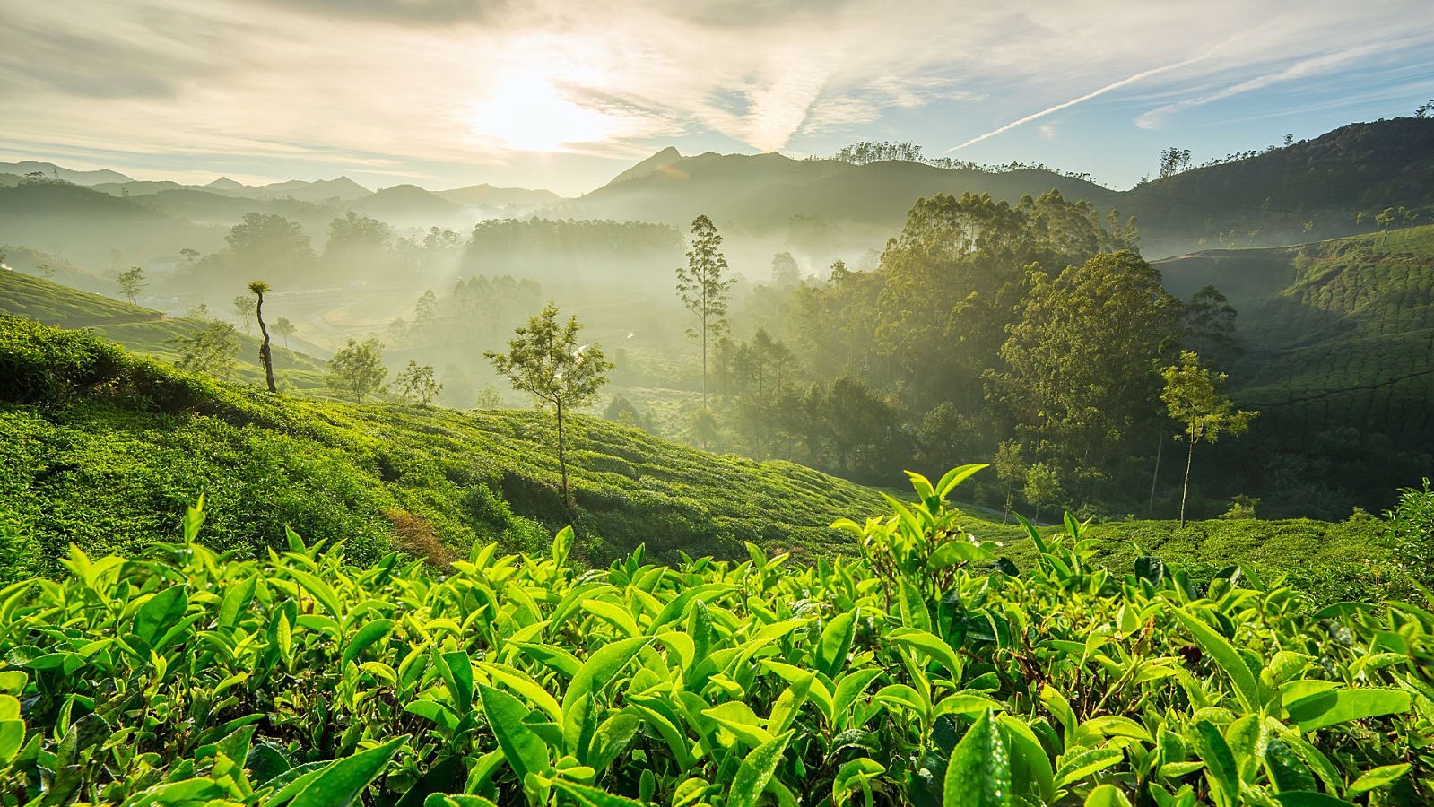
Pin Parvati has a host of unique experiences to offer you: from the pulley bridge at Tunda Bhuj to marshlands of Mantalai to alpine meadows of Odi Thach, dense forests near Kheerganga and glacier near the Pass. Pin Parvati trek builds from cold dry deserts of Spiti and its unique settings to the lush, wet greenery of Parvati valley.
The greenery, the flowers of Odi Thach hits you harder after days of trekking among wind-carved rock formations and glaciers. Near the end of trek, you also experience the hot water springs at Parvati Kund at Kheerganga. Words cannot describe the experience of a hot water bath here after a hard day of trekking. It is a five star sauna experience on a trek, which you seldom get on any Himalayan Trek.
Please contact us for more detailed content using the number +91 9811014398 / 9811925848
The Complete Guide to Pin Parvati Pass Trek
The Pin Parvati Pass is a thrilling challenge for any seasoned trekker. It’s a long expedition that gives trekkers a massive dose of adventure, beauty and a sense of achievement. The exhilaration of traversing a 17,457 ft pass is an experience of a lifetime.
Accommodation at Vashisht Reach Manali (~ 1950 m/6400 ft) by noon/afternoon. Our guest house will be either at Vashisht, which is 3 Km further up from Manali town. Vashisht has a temple and is famous for its hot spring inside the temple. In the after take a walk towards Jogini falls (Vashisht). Accommodation in lodge/guest house.
Pickup from Manali in the early morning and reach Barsheni (~ 2200 m, 7200 ft) via Kasol and Manikaran by car. Distance is around 110 km and can take around 4 hours. Trek starts from here. The trail ahead is a 9 Km walk through a lovely forest to the open meadow of Khirganga (~ 2920 m, 9580 ft). According to the myth, this is the hot spring where Lord Shiva meditated. One can take a refreshing bath in the spring. The climb will take around 5 hr. Overnight in tent
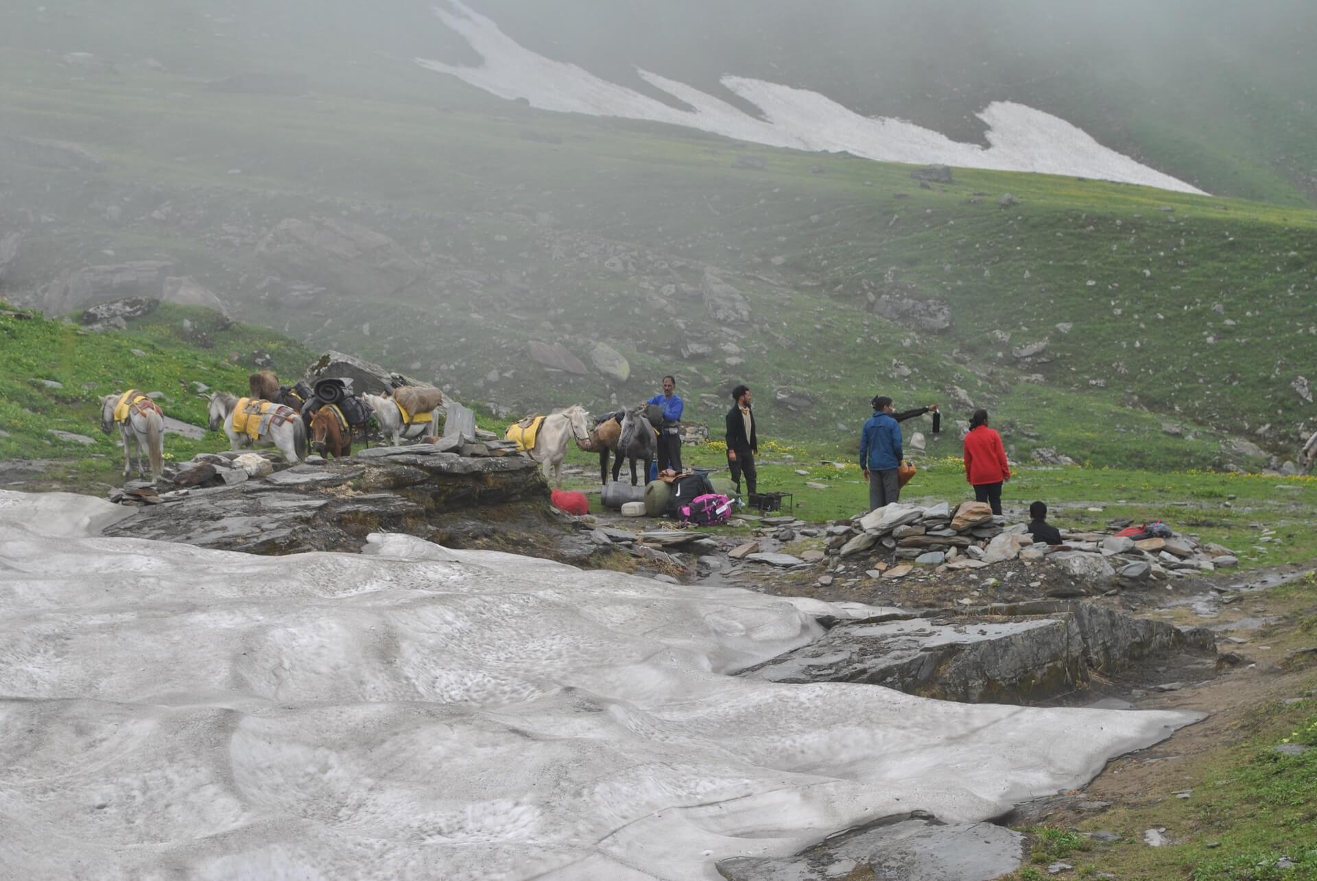
The 12 Km walk to Tundabhuj (~3400 m, 11150 ft) is very enjoyable while we again follow the Parvati river valley. Gently ups and downs, passing through the lovely grazing grounds and the stretches of montane conifer forest gives the flavour of a classy Himalayan trail. Occasionally the river is seen on our left. Camping ground is situated in the fringe of the birch forest. The Parvati river ramble in the gorge to our left while we camp on the true left of Parvati. A sheer rock wall jutting on the opposite side of the river having five distinct spikes. According to legend these are the five Pandav and called Pandu Shilla. We camp for the night.

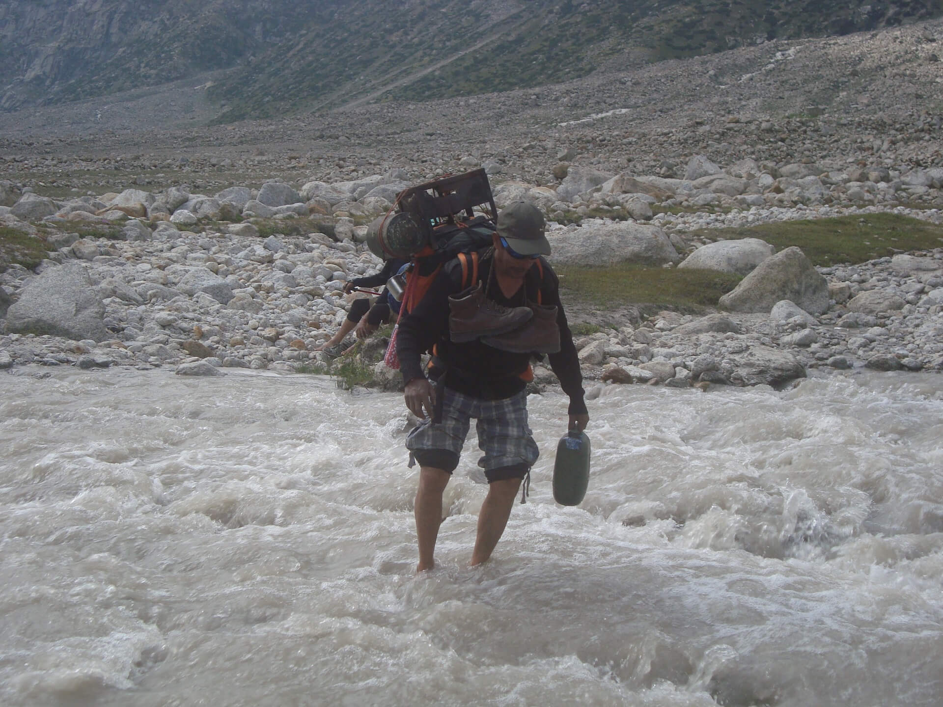
Today is a short trek to Thakurkuan (~3600 m, 11800 ft). We follow the course of the river. After a while the trail becomes difficult and we walk on a narrow rocky trail. The wooden bridge to cross the river is washed off in 2014 and since then the trail till Thakurkuan follows along the true left of Parvati. Earlier we had to cross the river once more over a hand drawn Pulley Bridge which is no longer required. After continuing for 2 Km or so a wide vista opens up. The panorama offers a plethora of wild flowers, iris and poppies to name a few. We camp on the valley for the day.Distance is 6 Km and may take 3 to 4 hours.
We continue our days trek along the river. After a while we cross a side stream over a boulder. This is referred as Chhota Pandu pool and the traverse on the rock is exposed to the stream itself running some 30 feet underneath. After that we cross the main river over a huge boulder spanning Parvati river. This is a marvel of local engineering and called Pandu Pool. From now onward the river is on our right and we will remain in the true right of the river. A climb starts immediately after crossing the bridge and continues for an hour. We turn left once we reach the shoulder of the mountain and continue gently on a wide alpine meadow. The campsite of Odi Thatch is at the end of this meadow. This is a pastoral ground and shepherds start going down denoting the beginning of fall season. Kullu Eiger (~ 5650 m/18530 ft) peak stands inviting with its 2000 m/6500 ft rock buttress for the rock climbers. We camp beside the river. Distance is 10 Km and may take 5/6 hours.
Today we trek to Mantalai (~4100 m/13500 ft), considered to be the origin of Parvati River. At the beginning the trail is gradual along the river and then the valley widens as well the water flow. A marsh land spans a kilometre or so due to the shallow flow of the river. The area is called Chhota Mantalai. One can spot a rock wall at a distance across the the river. We leave behind the vegetation and suddenly enter into the glacial moraine and debris. The snout of the glacier is clearly visible. We follow and climb a moraine ridge that dams the Mantalai Lake. From top of this ridge the vast area of Mantalai amazes any tired trekker. A temple along with cairns and flags welcome s us. We find a suitable spot for camp. This area is also a marshland in the middle of the valley. Distance around 9 Km and may take 5/6 hours.
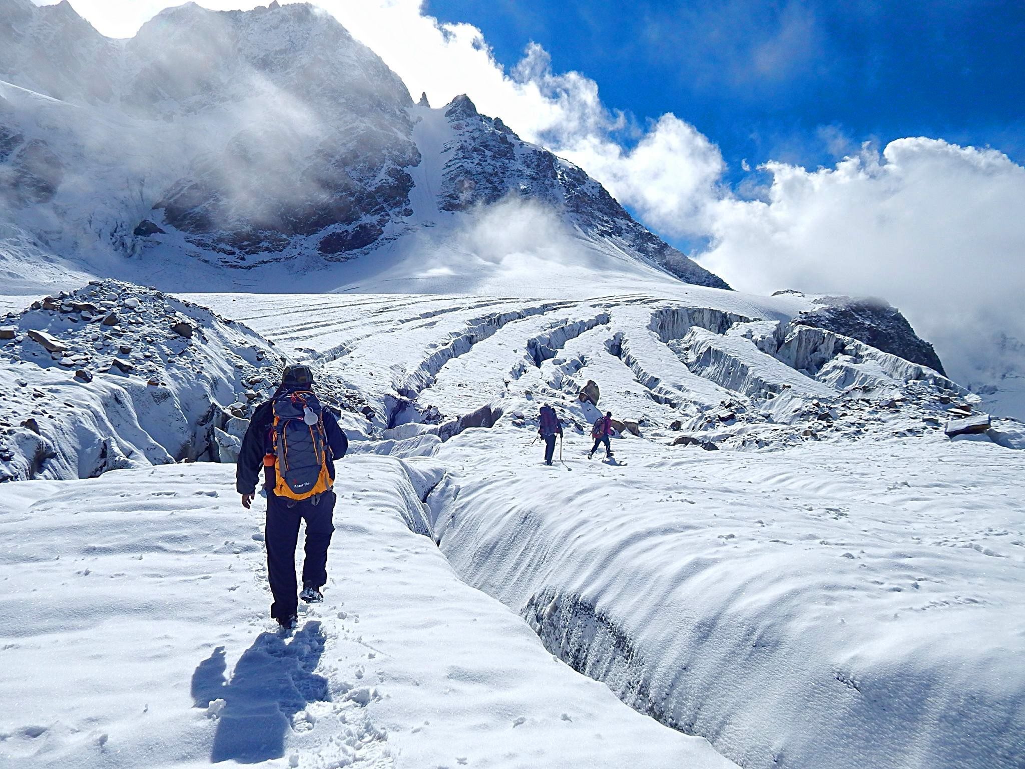
Today is a long & tough day. Start early from the camp and we move along the valley after crossing a side stream. We keep left as we climb a steep and steady ridge. This is indeed a tough section. At the end of the climb we turn left and enter into a rock and boulder zone. We encircle the zone over boulders. Another bone chilling stream just gushing out of the glacier awaits for us to cross. One final climb on a rocky ridge takes us to the beginning of the glacier. This is the glacier which comes from the watershed of Parvati pass. We camp at the edge of the glacier for the Parvati side base camp (~5000 m, 16500 ft). Distance is 10 Km and may take up to 8 hours.
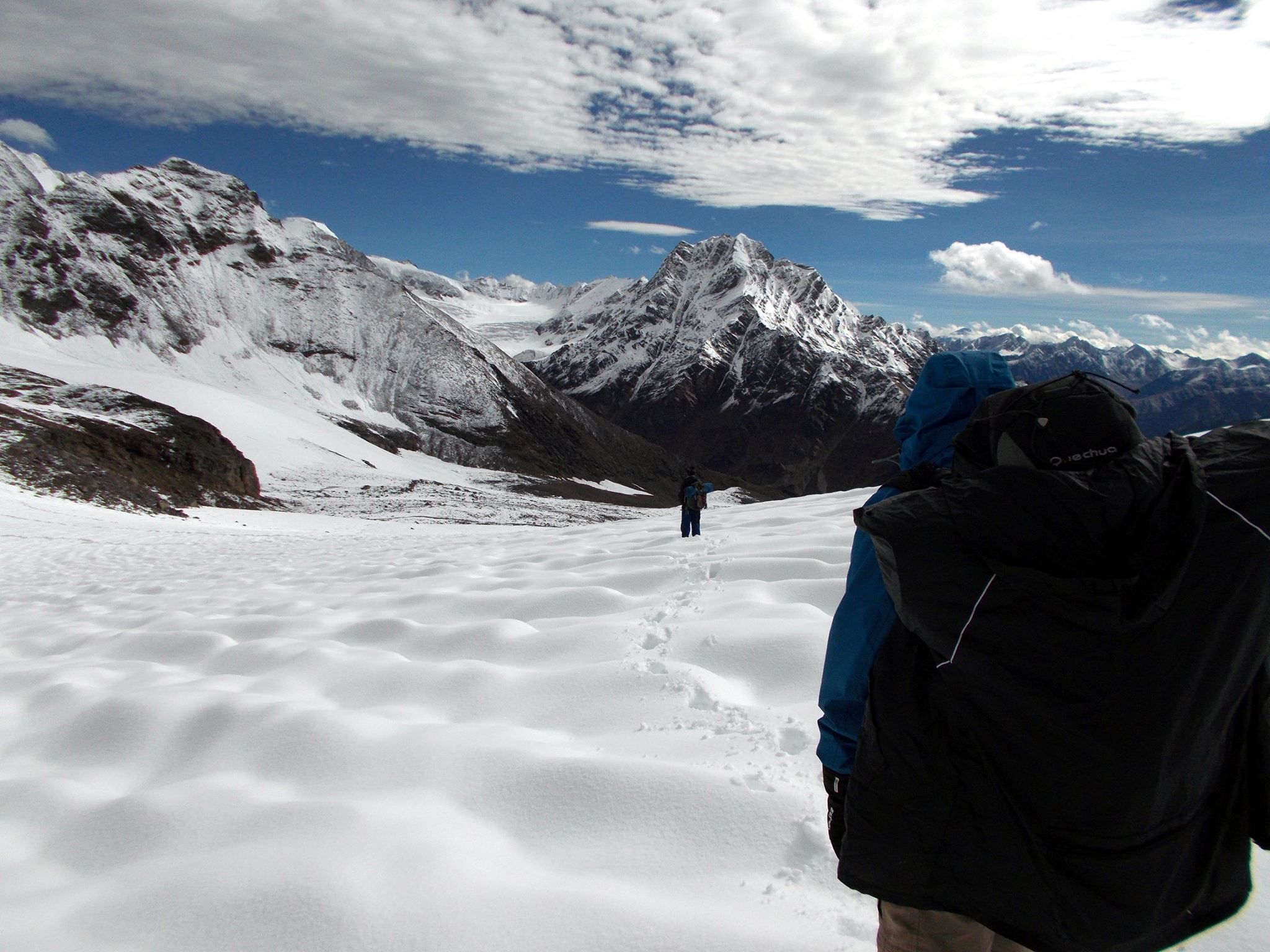
Today again we start early morning across the huge open ice field leading to the pass in the east, which can be reached in 4 hr. We need to negotiate the crevasses and hard icy slopes carefully. While walking on the permafrost region we see the glacial lake formation and snow capped peaks. There are few crevasses on the glacier which is to be negotiated. To reach the Pin Parvati Pass (~5300 m/17400 ft) we climb a steep rocky ridge and the last stretch.. The pass offers a wide panorama of peaks and the valleys of Spiti. We descent from the pass, first on snow and ice and then on steep loose scree. Finally we cross an ice cold wide open stream and reach the camp at Pin side base camp (~4500 m, 14800 ft). It is a patch of grass on the left bank of the Pin River. Distance around 9 km in total which may take up to 8 hr.
From today onward the valley is typically Spitian, barren, but with patches of grass and scree. Start early in the morning and we follow the left bank of Pin River (as we stay on the true left of the river) to descent gradually. We reach Chinpatta Maidan (~4000 m/13120 ft) around a distance of 13 Km. One can see the route leading towards the Bhaba Pass for Kinnaur on the other side of the river. From here scenically proliferation of the coloured mountains mesmerises you as the Pin valley broadens up. The trail gently descends along the left bank of the river and reaches Mud (~3750 m, 12300 ft), the first village on the Pin valley is another 12 Km. Total trekking will take around 10/11 hours.We camp for the night. [Note: If we reach Mud early in the evening then we may proceed to Kaza depending upon the availability of a vehicle].
Final day of the trip as we take the road back to Manali via Kaza, Lohsar, Kunzum La to Chhatru and then finally To Manali over Rohtang Pass. Trip ends here. Day 11 Buffer day This is an additionally day which is absolutely required for a long and difficult trek. We will use this day as a buffer day due to weather conditions or in case a rest day at Mantalai.